Status of Wetland Habitats
|
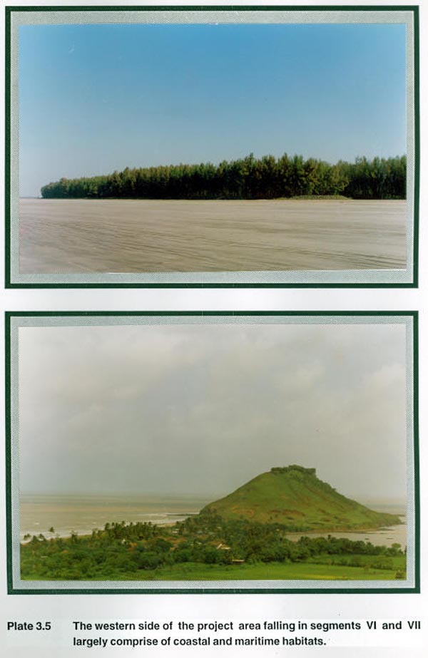
The wetlands in the study area include: (i) Arabian sea and maritime zones. (ii) Creeks. (iii) Rivers. (iv) Reservoirs, lakes and ponds. The 42.47 km2 of Arabian Sea on the western limits of the study area starting form north of Alibag to the south of Kindalika river mouth form the largest part of wetland (Plate 3.5). The coastal areas of Alibag, Nagaon and Revadanda were intensively surveyed during the different periods of the study. The coastal fringes were found to be largely barren areas except at few places where coconut plantations have been raised. Stretches of coast near Nagaon have Casuarinas plantations raised by the State Forest Department. Other shore features in the coastal regions of the study area were cultivated lands, fishing villages and rocky beaches.
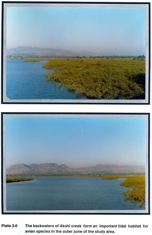
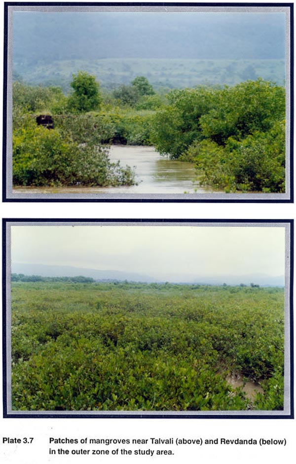
Backwaters of Palepada and Akshi and Palav creeks form the tidal swamps and mangrove habitats (Plate 3.6). The areas are mostly submerged during high tides and comprise of flat topography, soft clayey mud with high water table. The mangrove areas near Talvali, Revadanda and Akshi creeks form extensive stretches of wetland habitat. A vicennia sp. is the only dominant species that is characteristic of these mangrove areas (Plate 3.7).
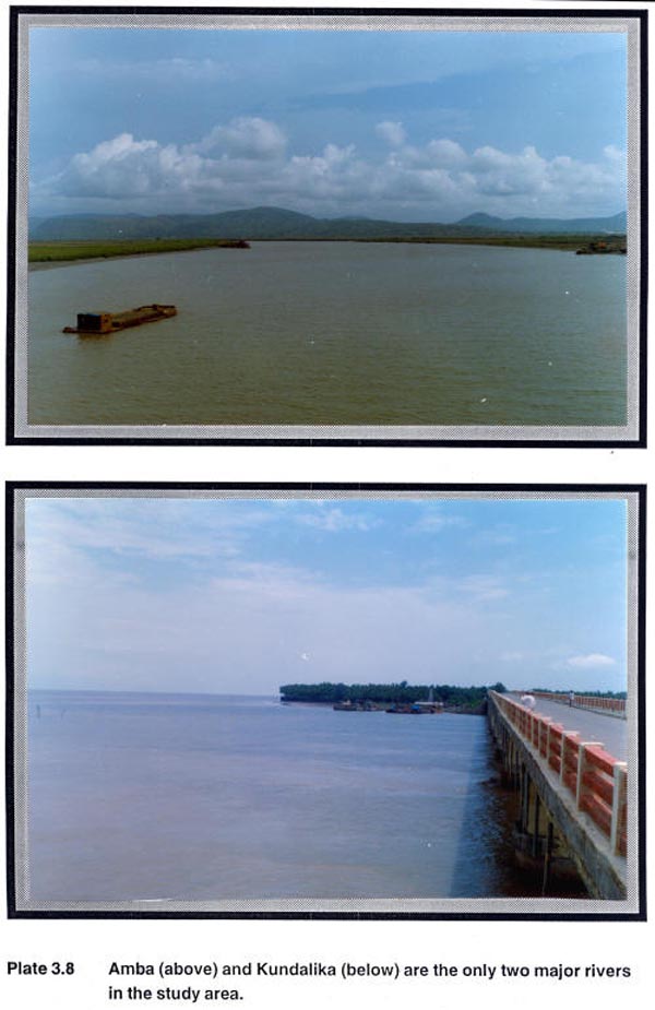
Amba, on the north east and Kundalika in the south are the two major rivers in the study area (Plate 3.8). These together account for 22.10 km2 of the area. As per the earlier information documented in the working plan (Damle, 1973) riparian fringing forests were found confined in narrow strips along Amba and Kundalika rivers. The characteristics species of these fringing forests reported by Damle (1973) are Ficus glomerata, Syzygium cumini, Pongamia pinnata and Mangifera indica. Our repeated observation along the banks of Amba and Kundalika river failed to recognise the existence of these tropical riparian fringing forests in any of the stretches within the area. The rapid expansions of agriculture into the bank areas have been evident during the course of study. Gradual reduction in the riparian fringe forest on account of encroachment for agriculture over the years could have lead to their absence now along these rivers.
One major reservoir near Umte village, few check dams, ponds and lakes were the other wetland habitats that were found in the study area. |
Last Updated: September 29, 2015


