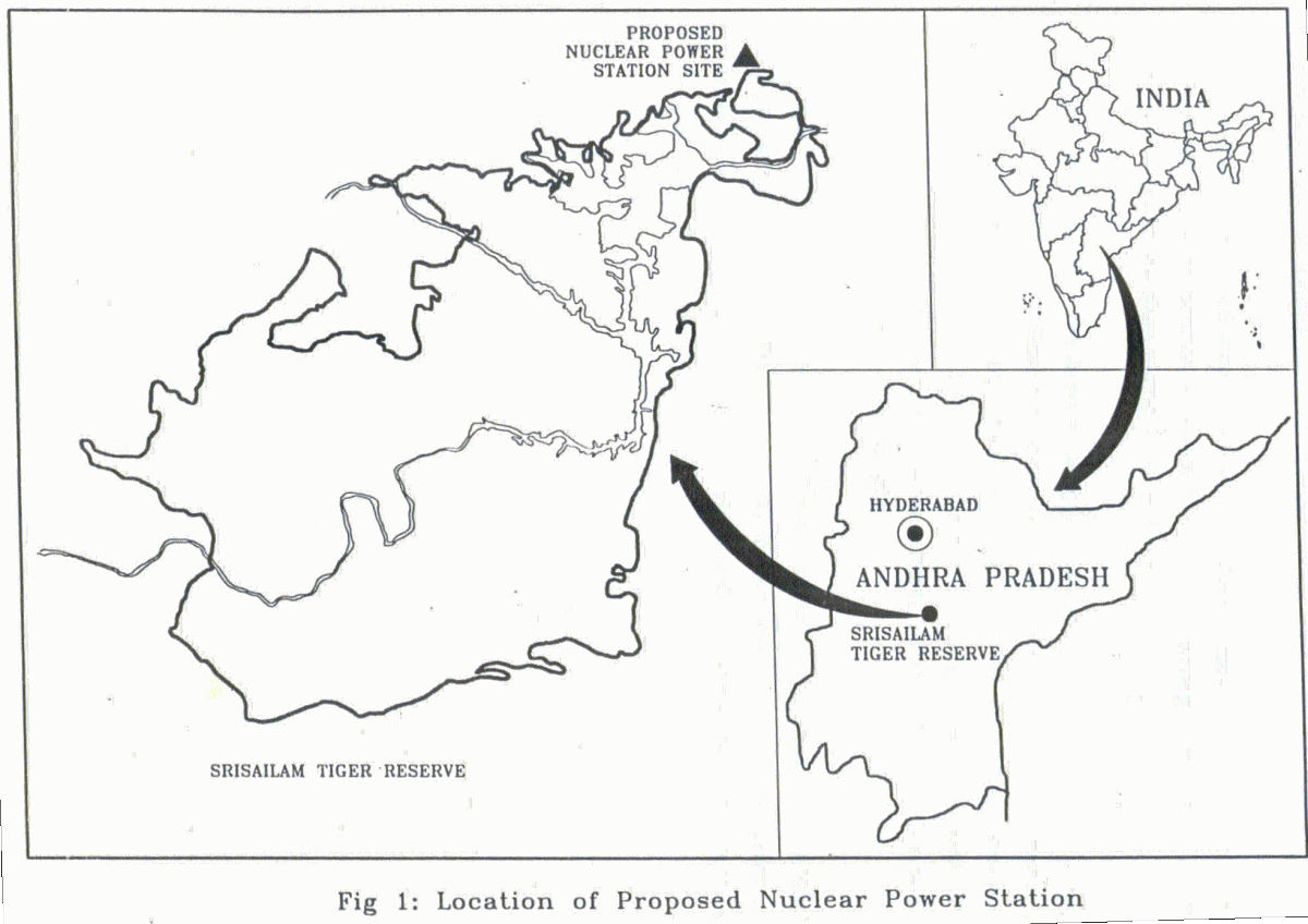
Project location
The project area is situated in the North East of Nagarjunasagar Srisailam Wildlife Sanctuary (Latitude 15E50'to 17E00' and Longitude 78E00' to 79E45'), and south of the Hyderabad city, on the bank of river Krishna. The total area that has been proposed for acquisition for the proposed Nuclear Power Station is 1965 km2 out of which 325 km2 is a part of Nagarjunasagar-Srisailam Tiger Reserve (Fig. 1). The area falls in Nalgonda and Guntur districts of Andhra Pradesh. The physiographic feature within the 25 km radius of the project area is predominantly a hilly tract cris - crossed with good network of rivers.

Temperature: The project area comes under the zone of very high diurnal variation in temperature. During summer, temperature rises up to a maximum of 43Ec and the minimum night temperature during winter reaches 16EC.
Rainfall and humidity: The average annual rainfall is about 1000 mm. The major source of rainfall is to southwest monsoon between second half of June to first week of October. This is followed by a dry spell for a month. The north east monsoon is active during November and first half of December mainly on eastern slopes of the area. In most parts of the area, the relative humidity varies between 60% and 80% and is maximum during rainy seasons (90%).
Geology: Major portion of the area is the part of the oldest geological formations known as the Archaens. These are rocks formed about 2000 millions years ago. Srisailam quartzite occupy most of the plateau portions, with bluish, grey brown and purplish colour (Rao, 1991).
Last Updated: January 21, 2014


