Basic Premise for Preparing Forest Clearance Plan
The plan of felling of forest area going under submergence in this project is premised on the following considerations and assumptions that were drawn based on discussions
1. The sanction was accorded for the project by Govt. of India under the Forest Conservation Act 1980.
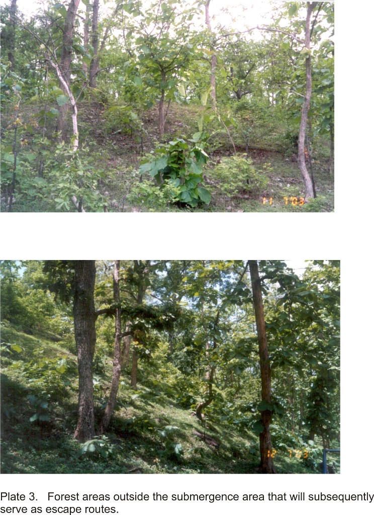
2. The safety and escape routes of at least the larger species of wildlife and the conservation significance of wildlife areas have been the considerations in drawing the plan (Plate 3).
3. The capabilities of the Forest Production Divisions, presently working in the up stream Narmada Sagar have been kept under consideration in proposing the entire clearance in two years.
4. The MWL of the reservoir will be 169.6 m and will be achieved by June 2007.
5. Felling operation is to be completed by 2006 June prior to impoundment of the reservoir in the year 2007.
6. The work of main dam construction may begin in 2003-2004.
7. The first stage of submergence up to 179 m level could be achieved in June 2006.
8. The forest land needed for construction of dam, approach road, Head Race Channel, Tail Race Channel, Common Carrier, Transmission Lines, Power house, Magazine, etc. are to be done even earlier than the dam.
9. The Govt. of India in MoEF have prescribed that no fellings are to be done in uppermost 8 m. (vertical) below FRL (196.6 m).
It transpires that this reservoir will not have draw down effect as in single reservoirs, as it will be receiving the same volume of water as it is using for power generation, as spent water from the TRC of Narmada Sagar Power House. Thus the forest growth in the upper 8 m contour level does not have any chance of survival. This matter may be sorted out by NVDA with MOEF, and the decided limit will have to be demarcated all around the perimeter of the water spread, and the islands to be formed within the reservoir. Felling of forest cannot start unless this matter is finalized.
10. Some islands are going to be formed due to the water spread.
Six major islands will be formed south of main stream, with clusters of islets around some large ones, which cannot be all seen on the 1:25000 scale maps. These islands could be future refuges for a variety of wildlife forms. Two large chunks of forest on the north bank also become islands surrounded by narrow stretches of water.

Last Updated: January 21, 2014


